The 20,000km view: How GPS works
Jamey Sharp
wow. many word. so dense
- this is an introduction; there's no quiz
- please hold questions to the end
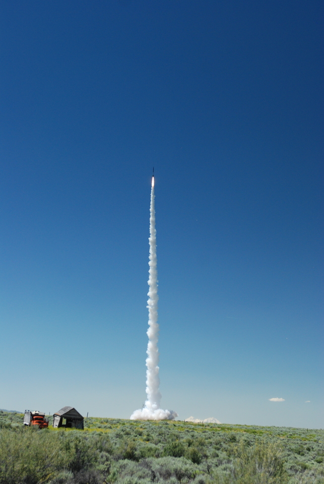
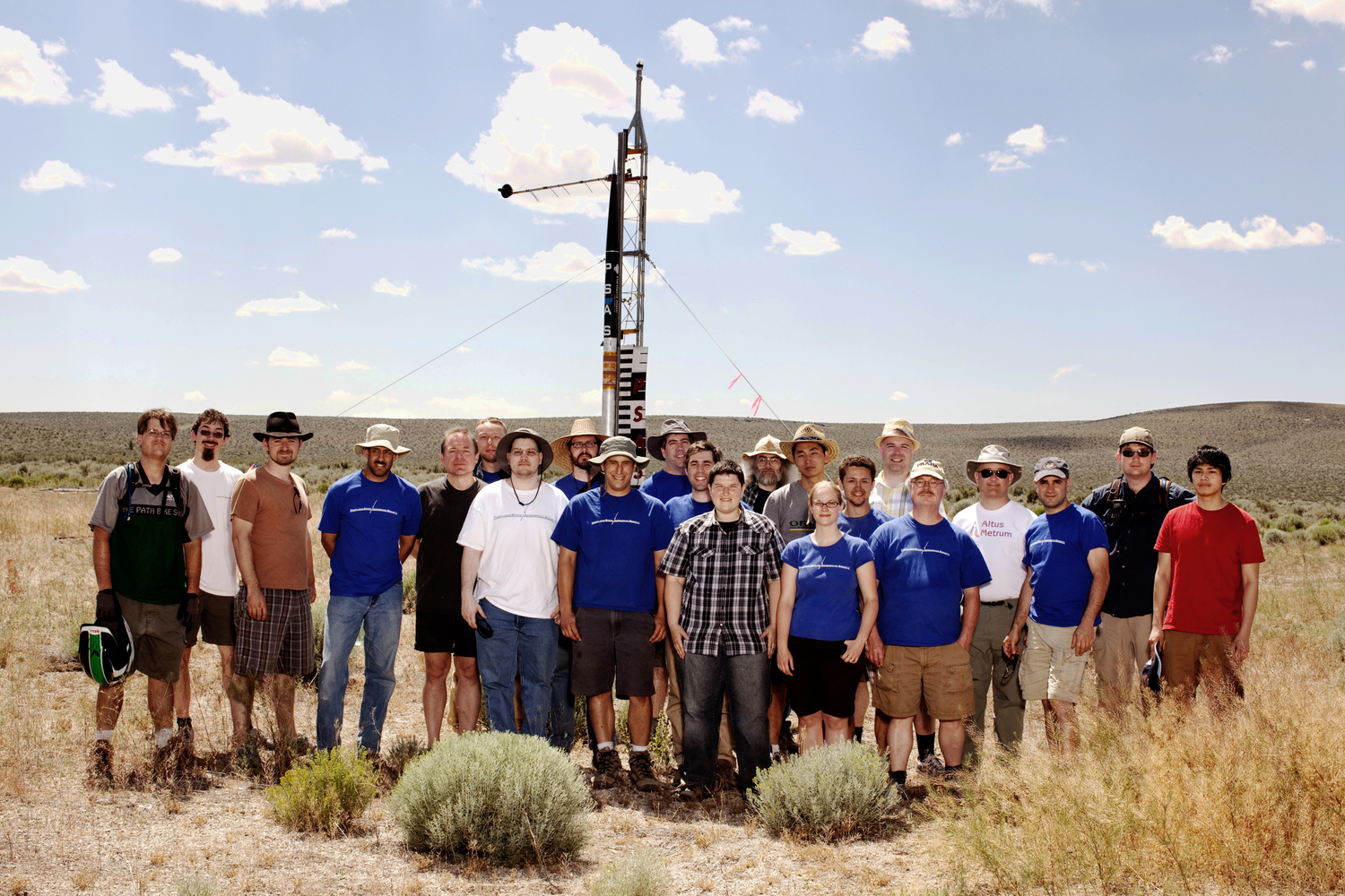
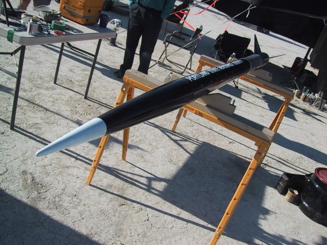
Portland State Aerospace Society
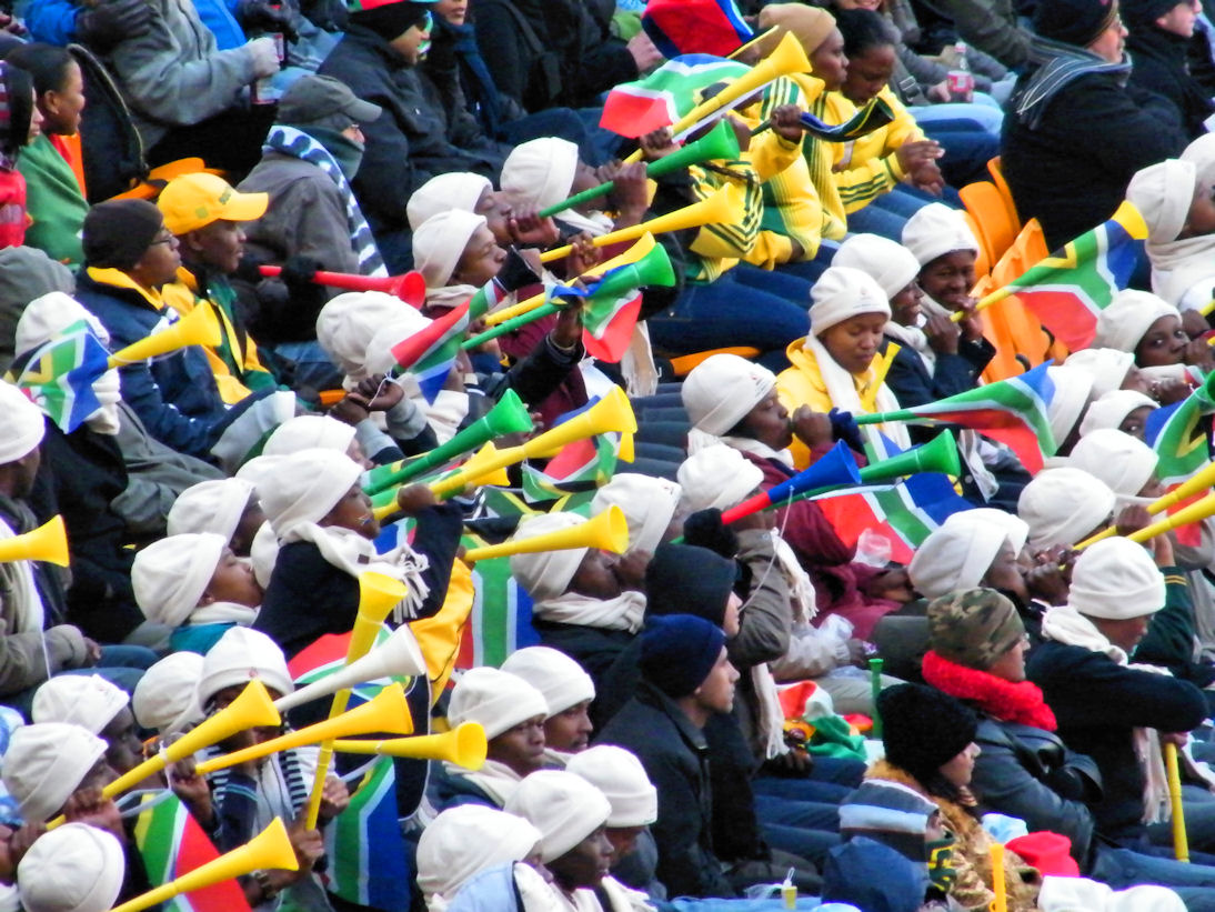
Launching amateur rockets... For Science!
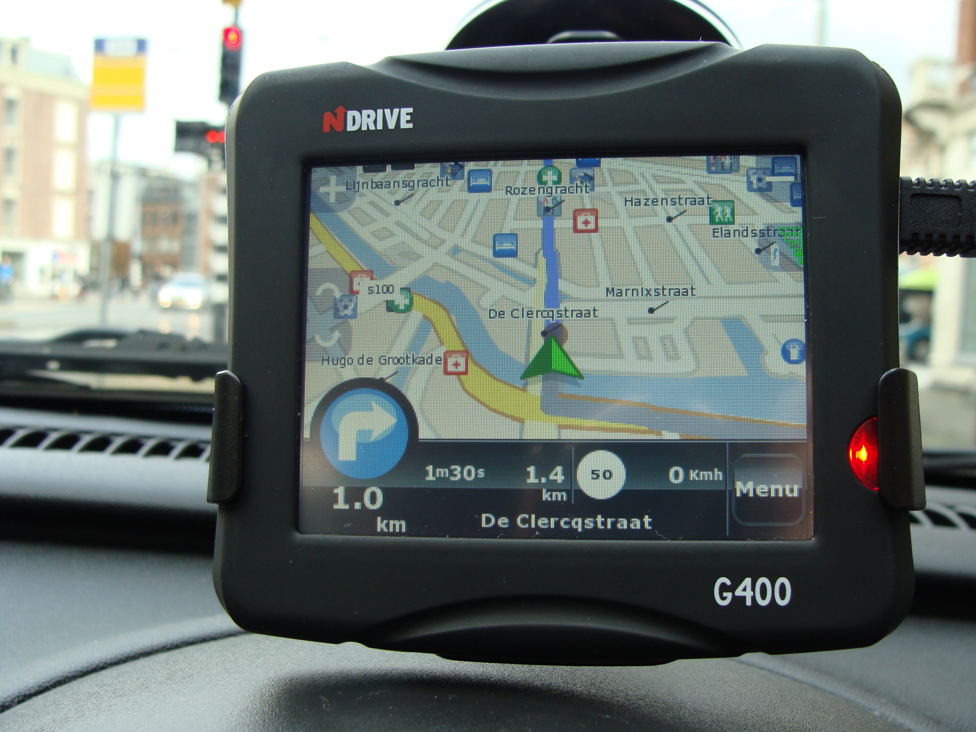
Commercial GPS receivers:
not built for rockets!
I'm a rocket scientist and you can too
Outline
- Time-of-flight positioning
- Signal vs Noise
- History and Politics
- GPS Modernization
- Data Layer
- Open Hardware and Software
Time-of-flight positioning
take a deep breath
GPS: What is it?
GPS: What isn't it?
- Purely passive, can't track you
- ... of course, your phone might send your GPS track somewhere
GPS: What isn't it?
- No maps
- ... just position: latitude/longitude/altitude/time
How does "trilateration" work?

Oops: Time-of-flight, not distance
- each satellite transmits "the time now is ..."
- receiver gets time-delayed messages:
- 20,000km away: now - 67ms
- 25,000km away: now - 83ms
- 30,000km away: now - 100ms
- 35,000km away: now - 117ms
but that's not all!
Doppler measurements provide an independent velocity estimate
Theory of relativity
- Special relativity: at 14,000km/hour, clocks run slower by 7.2 microseconds/day
- General relativity: at 20,000km altitude, clocks run faster by 45.9 microseconds/day
Want a clock that seems to run at 10.23MHz?
Run it at 10.2299999954326MHz —IS-GPS-200G
Signal vs Noise
take a deep breath
Nearest GPS satellite:
20,000km straight up
How far is 20,000km?

How far is 20,000km?

How much power does a GPS satellite transmit?

500W
20,000km later...
.0000000000000005W
and they're all transmitting at once
how could this ever work?
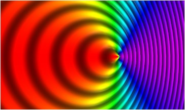
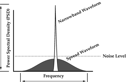
Direct Sequence Spread Spectrum!
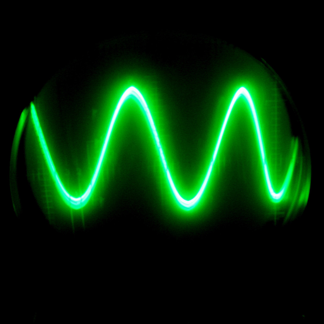
A pure sine wave has all its power at one frequency

Carefully choose a pseudo-random sequence of +1 and -1

Multiply the signal by the pseudo-random sequence
How do you get your signal back?
De-spreading piles all the energy back into one power spike
What if there's interference?
- the interfering signal gets spread out
- while the real signal gets put back together
Accidental interference:
unlikely!
Intentional jamming:
...harder
US military "anti-spoofing"
uses a secret spreading code
History and Politics
take a deep breath
Navigation has been the product of military history
...and global time synchronization is along for the ride
1707: Scilly naval disaster
.jpg)
1714: Longitude prize
prizes collected by John Harrison from 1736 to 1773
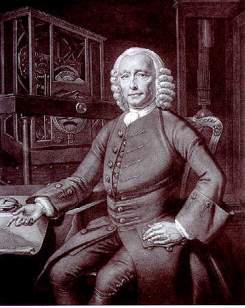
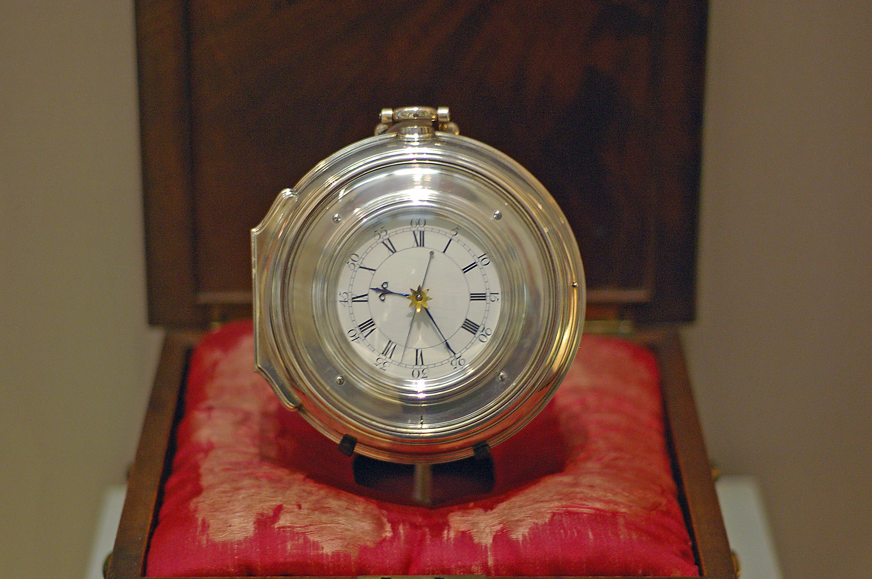
1773: Harrison's Chronometer H5
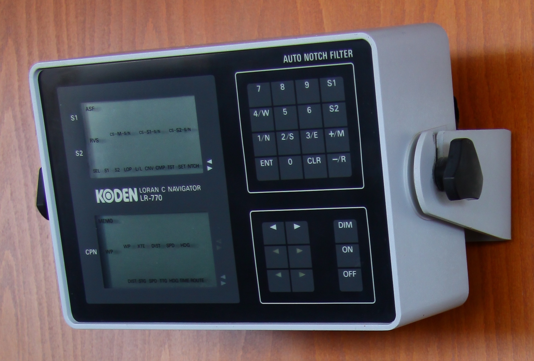
LORAN-A development begins
LORAN-A's successor
- 1946: Cyclan
- 1952: Cytac
- Eventually called "LORAN-C"
Made In Oregon
First field test locations:
- Hillsboro
- Medford
- Palo Alto
1961: Clock synchronization
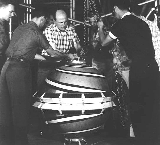
1957
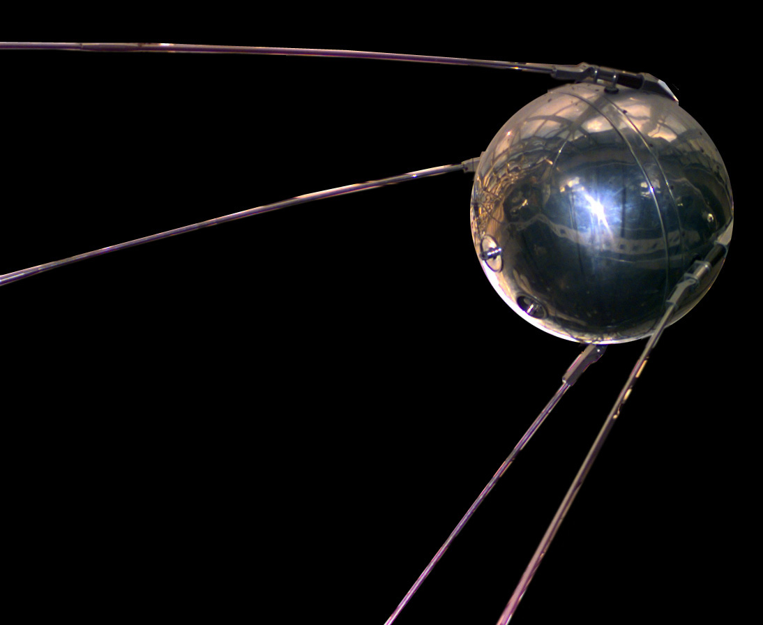
Transit
Transit use cases
- reset INS on submarines used as ICBM mobile launch platforms
- later used by civilians for precise surveying
Transit limitations
- might wait several hours for a satellite to be in view
- must observe the satellite for two minutes
- single pass accuracy: 200 meters
- compute time for position fix: 15 minutes
Transit influence on GPS
- dual-frequency for ionospheric correction
- satellite orbit determined by inverse operation
- global clock synchronization to 50 microseconds
1973: Pentagon thinks up GPS
prototype "Block I" sats launched 1978-1985
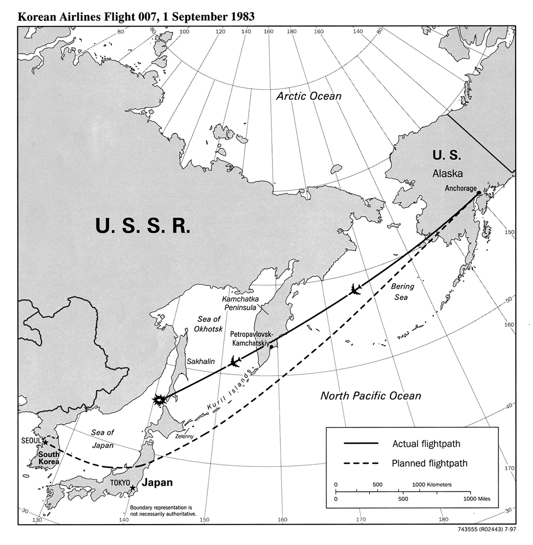
1983: KAL flight 007 shot down over USSR
1989-1994: first 24 "Block II" satellites
1995: GPS constellation declared "fully operational"
Selective Availability
- degraded civilian accuracy
- intended to prevent non-US military use
- limited usability for safety-critical applications
- turned off in 2000
- improved civilian receiver accuracy from 100 meters to 20 meters
GPS Modernization
- 1998: announced by White House
- 2000: authorized by Congress as "GPS III"
- 2008: contract awarded to Lockheed Martin
- 2014: first Block III launch planned
- 2016: first actual Block III launch?
given consequences of GPS failure,
can we trust GPS?
Other GNSS systems
- Russia: GLONASS
- Europe: Galileo
- China: Compass
- regional systems launched by France, India, and Japan
GPS Modernization
take a deep breath
why is US military GPS more accurate than ours?
ionosphere (85km-600km) delay
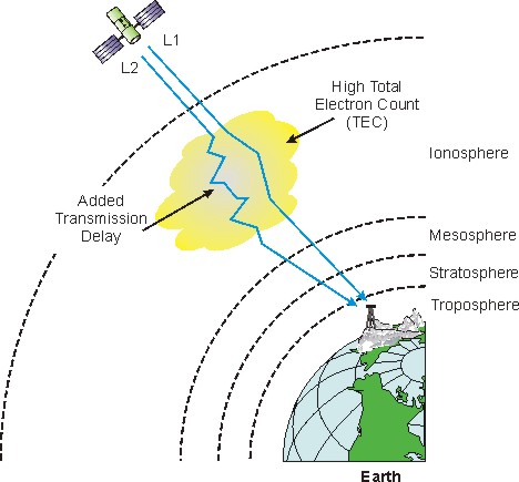
bad news: GPS receiver can't measure this
good news: it's frequency dependent
for science!
side note: Measuring the Total Electron
Content in the ionosphere is one piece of citizen science you can do with
GPS if you already know your location
why is US military GPS more accurate than ours?
- "L1" civilian signal at 1575.42MHz
- "L2" military signal at 1227.60MHz
better news: GPS modernization
- "L2" frequency will add a new "L2C" civilian signal
- new "L5" frequency will also be available to civilians
that's nice
but I'm impatient
WAAS/SBAS
- measure ionosphere delays from known locations
- then broadcast corrections from satellites
codeless tracking
- hacks to use L2 even though we can't decrypt it
- GPS modernization may break existing codeless receivers in 2020
Data layer
take a deep breath
complete message: 30 seconds
fishing for satellites
- locking a satellite requires knowing which spread spectrum code to look for
- how can you guess which satellites to look for if you don't know where you or the satellites are?
- try randomly until you get lucky for the first one, but then...
almanac
- approximate orbital parameters for all satellites: yay!
- ...but rotates through 1 or 2 every 30 seconds
- 12.5 minutes to recieve full almanac ("cold start")
better plan: try all satellites at once!
- FFT trick: compute intensive, but computers are fast now
- find all visible satellites in less than 1/10th of a second
found the visible satellites; now what?
need each satellite's precise orbit
e·phem·er·is /iˈfem(ə)ris/
noun: ephemeris; plural noun: ephemerides
a table giving the calculated positions of a celestial object at regular intervals throughout a period.
ephemeris
- detailed orbit, but only for the satellite you're listening to
- sent every 30 seconds
- between 18 and 48 seconds to full ephemerides ("warm start")
hot start
Given
- current ephemerides,
- accurate UTC time,
- position within 100km...
Lock and position fix should take less than a second!
assisted GPS
- gets current ephemerides from a high-speed network, like cell data or wi-fi
- your phone almost certainly does this
- your phone might not support GPS at all without network assistance
assisted GPS shortcuts
- assisted recievers often have pretty good current time from network
- phones usually have approximate current location from cell towers
- together, it's easy to guess which satellites to look for
satellite ephemerides are a best-guess forecast
once per week, control segment reports what last
week's orbits really were
surveying
- surveyors don't need a quick answer, they need a very accurate one
- record raw data over 24 hours to average out errors
- a week later, use accurate ephemerides to analyze the recorded measurements
other navigation message stuff
- clock corrections
- even atomic clocks drift—and yes, GPS cares
- like ephemeris, different for each satellite and sent only by that satellite
- satellite health
- ionospheric data
- UTC corrections
GPS modernization
- changes all the encoding details
- but the big picture is the same
Open hardware and software
take a deep breath
where's the openness?

good news
GPS operation is well-documented by US government
bad news
GPS hardware is the worst kind of proprietary
documentation only available with lots of money and an NDA
do we need their hardware?
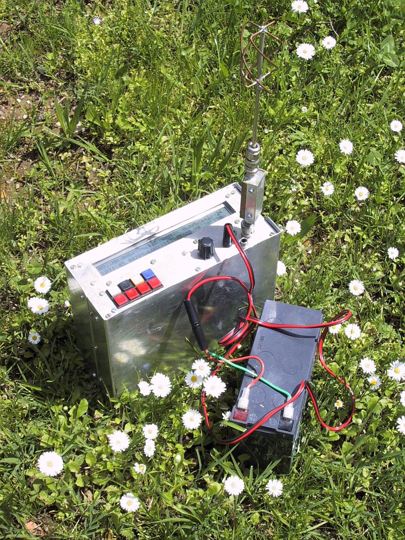
1991-1992: Matjaž Vidmar's homebrew GPS/GLONASS receivers
- ham radio enthusiast and EE prof in Slovenia
- head of Laboratory for Radiation and Optics at the University of Ljubljana
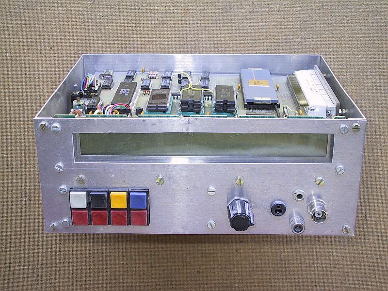
1991-1992: Matjaž Vidmar's homebrew GPS/GLONASS receivers
Motorola 68k CPU + DSP CPU + discrete electronics
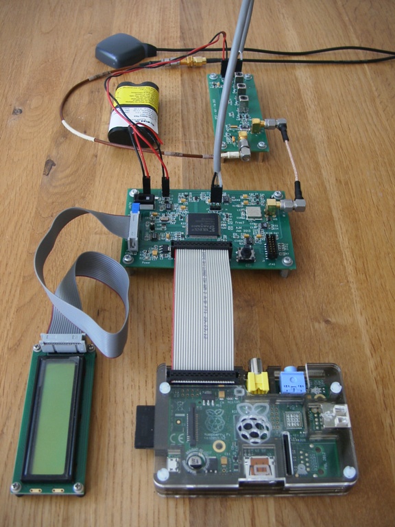
2011-2013: Andrew Holme's homebrew GPS receivers
2011-2013: Andrew Holme's homebrew GPS receivers
discrete electronics + FPGA + Raspberry Pi
other open projects using COTS hardware
- Clifford Kelley's OpenSourceGPS (late '90s to 2012)
- Andrew Greenberg's GPL-GPS (2005 Master's thesis)
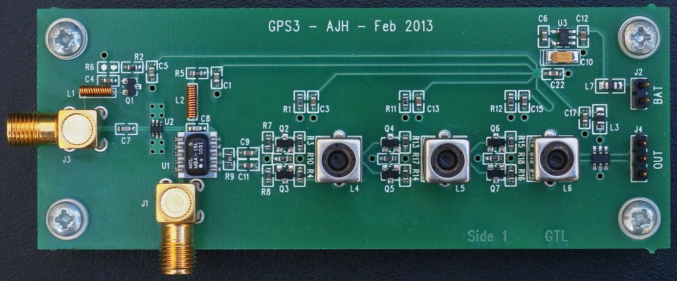
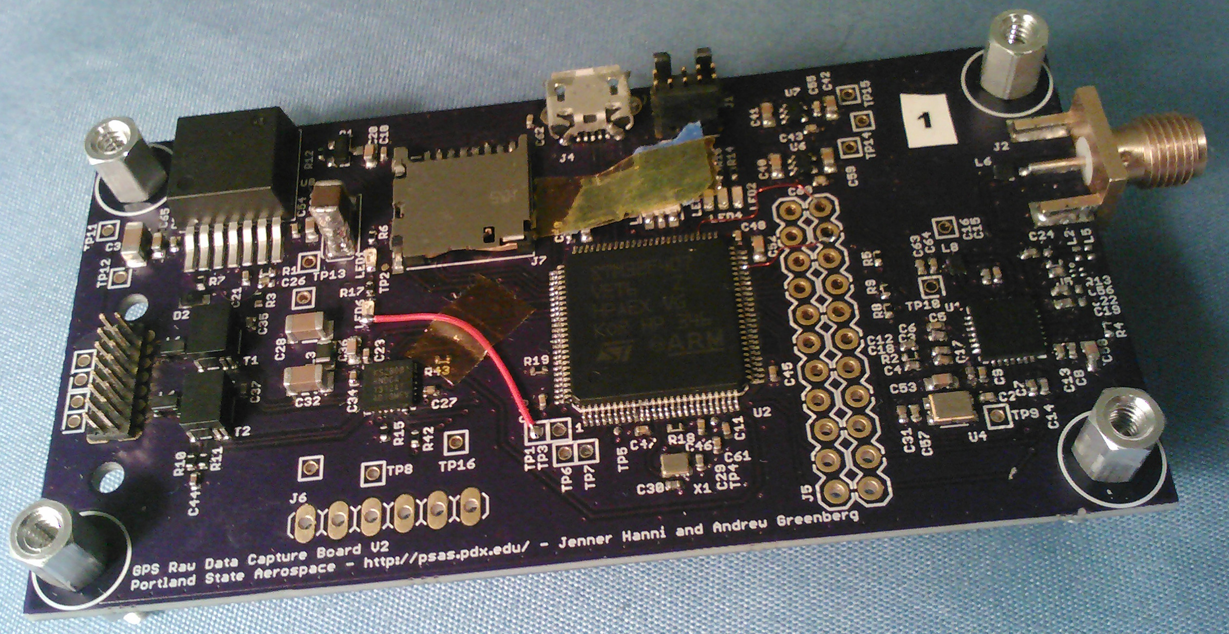
current: PSAS' GPS RF frontend
GPS RF frontend possibilities
- stream into a BeagleBoard, accelerate using DSP core
- stream into an FPGA
- stream into a PC over USB and do everything in software
- log raw data from flying on a rocket—coming July 20th!
how hard is this, really?
- it kind of is rocket science
- but you can totally learn it
- I have a B.Sc. in CS, never taken a class in DSP or radio
- just read lots of Wikipedia articles
Summary
aka, GPS in 1 minute
take a deep breath
what is GPS?
find your position by trilateration from satellites
missing features: maps and surveillance
amazing science results
- theory of relativity confirmed
- method to measure ionosphere's total electron content due to solar wind
amazing engineering results
- signal that's below the noise floor still detectable due to direct sequence spread spectrum
positioning is still evolving
- GPS modernization
- other countries' systems
military created GPS
but we make it
awesome
come play at PSAS!